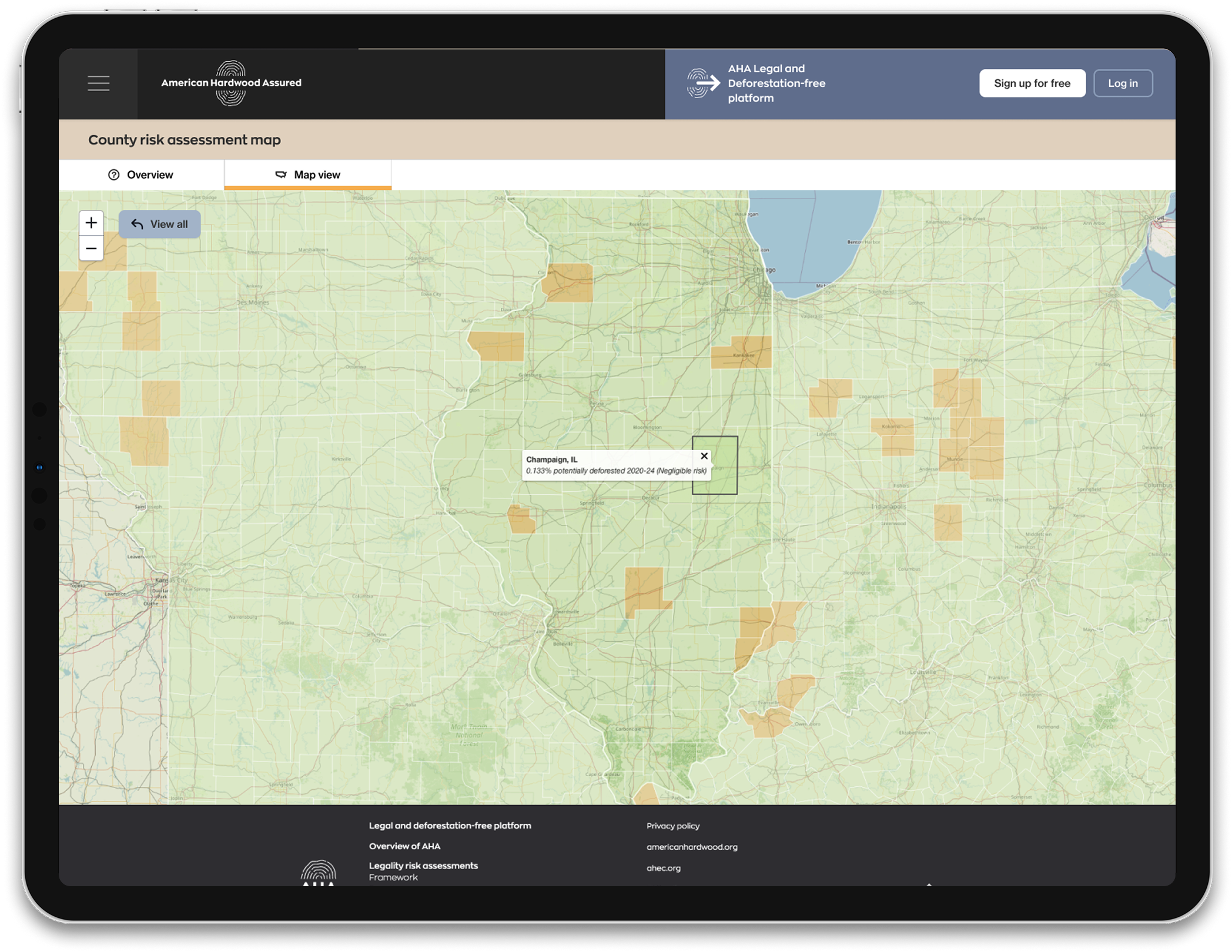
Using the latest developments in artificial intelligence, combined with the USDA’s Cropland Data Layer (geo-referenced, crop-specific data produced using satellite imagery), AHA’s unique map provides in-depth deforestation risk data at county level.
For each U.S. county across 33 states, the AHA assessment identifies the percentage of hardwood forest area potentially converted to agricultural land between 2020 and 2024 and classifies counties as follows:
Later in 2025 a further four assessed states will be added to the map [Connecticut, Kansas, New Jersey & Rhode Island]. This will increase coverage of American hardwood production to 99.9% of national annual sawlog harvest.
Subscribers to the full platform are able to connect this data with their export consignments as well as accessing legality risk data at state level.
For more detailed information on deforestation risk, view our annual risk assessment report.
Learn more about the innovative work going on behind the scenes.

